blah blah blah
Mt. Watatic
Length: 2.6 miles out-and-backDifficulty (click for info): Easy
Elevation Gain: 600 feet
Rating (click for info): 6/10
Elevation: 1836'
Prominence: 515'
Driving Directions:
Trailhead and parking area are on Rt. 119, 1.7 miles southeast of the NH/MA state line. Coming from NH, look for a large dirt parking area just off the road on the left side.
About the Hike:
Mt. Wataic marks the southern end of the Wapack Range, a chain of small hills which extends to North Pack Monadnock. It is also the first mountain encountered while hiking northbound on the Wapack Trail, a 22-mile hiking trail which runs the length of the range. Although Mt. Watatic is in Massachusetts and therefore not an "NH Family Hike", since it is so connected to New Hampshire, it is usually mentioned when listing popular hikes in the Monadnock Region.
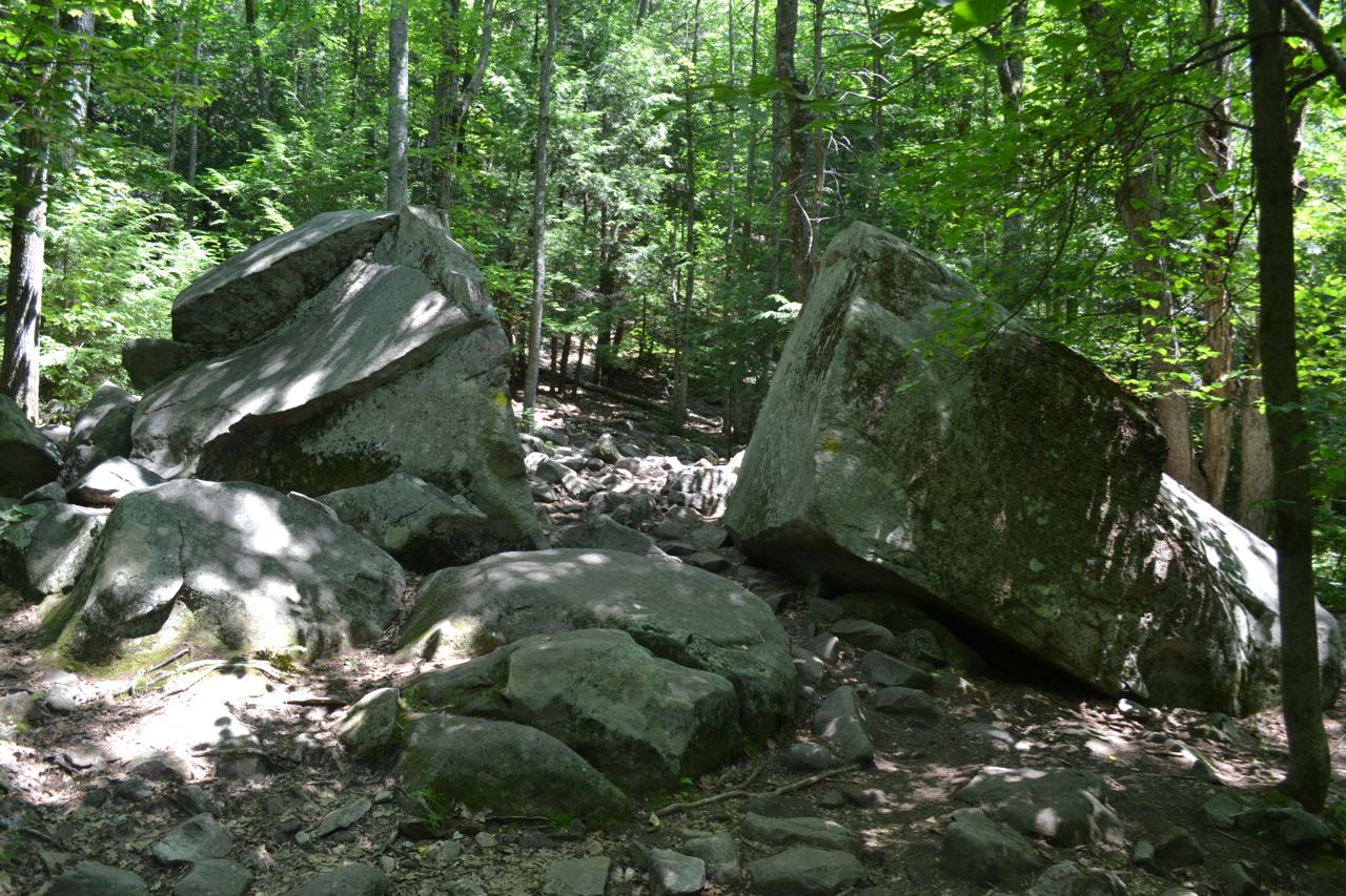
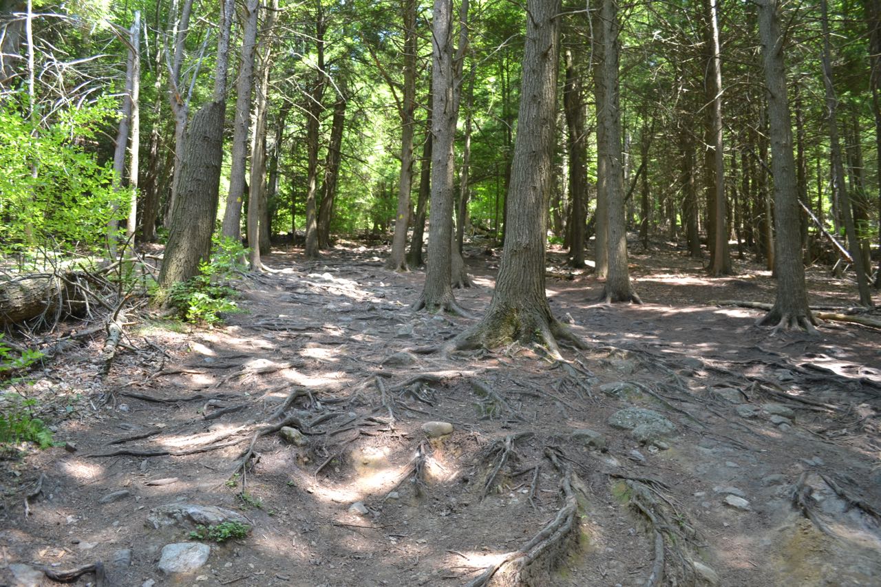
The hike begins on the historic Nutting Hill Road and the beginning of the Wapack Trail. Walk past the gate and trail signs and follow this old dirt path. The road quickly passes a small marsh, then becomes rocky and heads gradually uphill. In 0.2 miles from the gate, turn right to continue on the Wapack Trail. The trail runs at level grades, soon passing between a split rock. It then climbs a stone staircase and angles uphill. Eventually, the trail turns straight uphill. Here, it has been greatly widened by overuse. In half a mile from Nutting Hill Road, a large rock slab appears in front of you. The trail swings around it on the left side, then becomes flat as it traverses the northwest shoulder of the mountain. It soon follows a stone wall along more open rock to a slight viewpoint, then turns back into the forest. It continues climbing moderately over rocky terrain for about 0.4 miles.
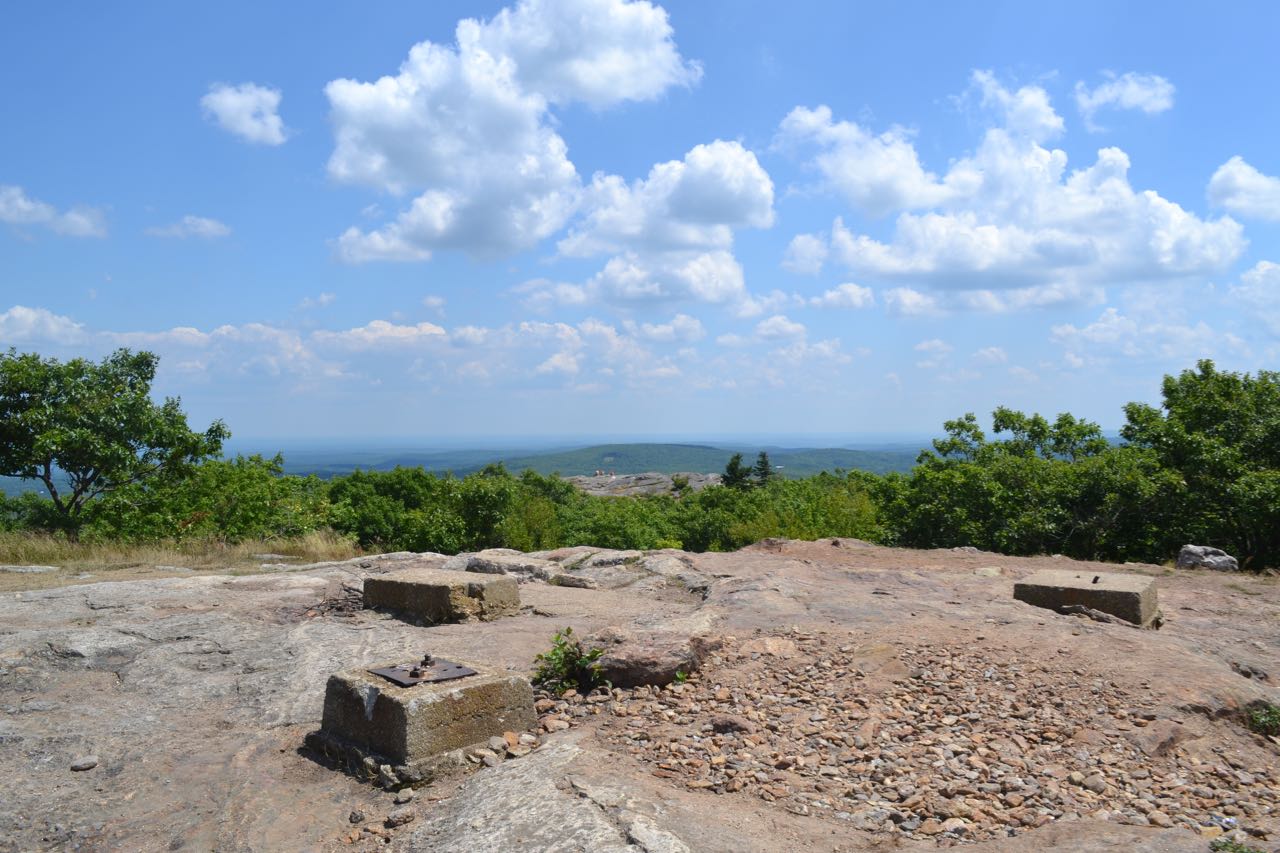
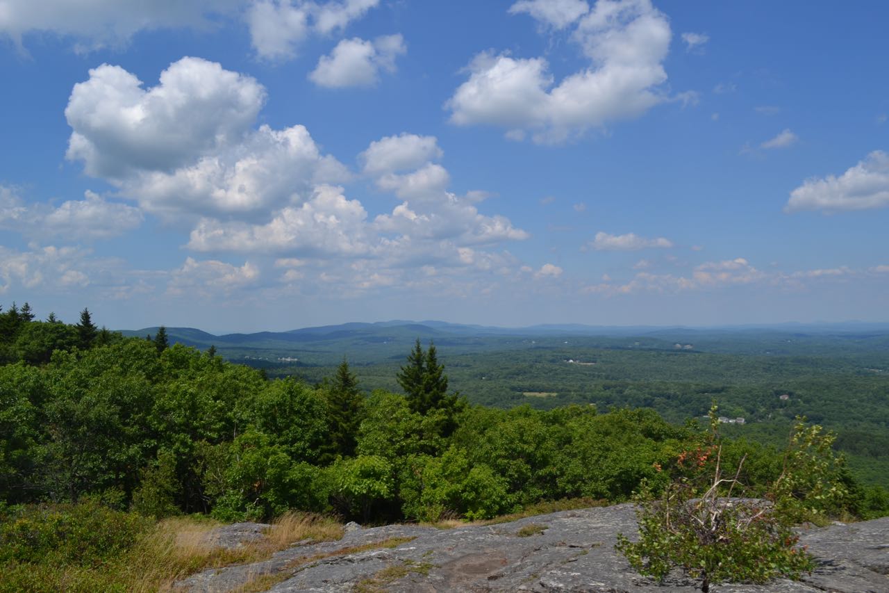
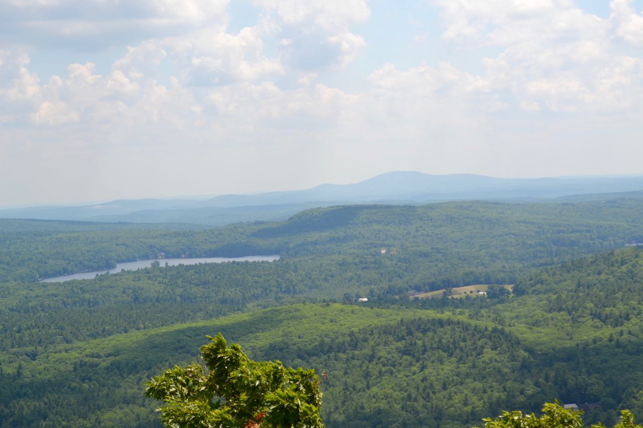
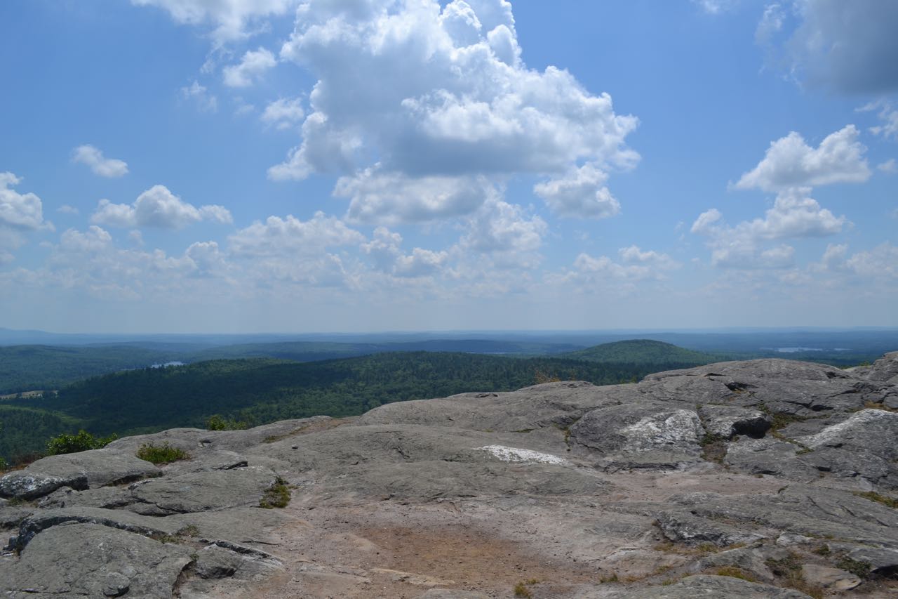
Just below the summit, the Wapack Trail turns sharply left. Turn right and follow a spur path over open rock to the summit, where you will find the cement footings from the former fire tower. There are good views over the trees from here. For much better views, continue along the spur path to the prominent southeast knob. Now you have wide views of the flatlands and ponds of Massachusetts. The only noticeable hill is Wachusett Mountain. To the far left, you can look past the summit into New Hampshire and the rest of the Wapack Range. The distant Belknap Range is seen to the right. To the northeast are the rounded Uncanoonuc Mountains and cliff-faced Joe English Hill. Off to the southwest, Mt. Greylock, highest point in Massachusetts, can be seen on a very clear day.
Printable directions page